
Google Workspace Marketplace


InstaMaps
26 location formulas for Google Sheets™. =GEOCODE fills coordinates for a whole column, =INSTAMAP turns it into a live map, plus drive times, routes and territories. Free — no API key, no setup.
דף האפליקציה עודכן בתאריך:24 בספטמבר 2026
האפליקציה פועלת עם:
971



סקירה כללית
Your spreadsheet can geocode now. And route. And map.

InstaMaps adds 26 location formulas to Google Sheets™ — spreadsheet functions that work like the ones you already know:

=GEOCODE(A2:A50) — addresses become latitude + longitude, spilled in next to your data
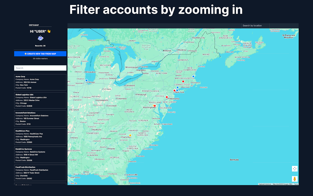
=INSTAMAP(A2:D50, "My map") — a live, shareable map appears in the cell, and it updates whenever your sheet changes
=TRAVEL_TIME(A2, B2) — real driving minutes on actual roads, not straight lines
=DISTANCE, =CLOSEST_TO, =WITHIN_RADIUS, =SORT_BY_DISTANCE — measure and rank anything by location
=VISIT_ORDER(A2:A20) — your stops in the right driving order; =ROUTE_LINK opens the whole run in Google Maps™
=TERRITORY(A2:A99, 4) — split any list into fair geographic zones
…plus address cleaning, postcode/city/state extraction, reverse geocoding, Street View™ and Waze™ links.

Because they're formulas, they compose: chain GEOCODE into DISTANCE into INSTAMAP and your sheet becomes a living dispatch board, farm map or delivery plan that rebuilds itself when a row changes. The sidebar's one-click "Build the workflow" writes the whole chain for you.

Built for people who run their day from a spreadsheet: field service dispatch, real estate farming and comps, sales territories, delivery runs, store locators.

Free to use — no API key, no billing account, no setup. Generous free tier; formulas like GEOCODE work on whole ranges. Your data stays in your sheet: maps you create are unlisted and only visible to people you give the link.

Install, type =GEOCODE( in any cell, and watch your sheet learn geography.
מידע נוסף





חיפוש
ניקוי החיפוש
סגירת החיפוש
אפליקציות Google
התפריט הראשי